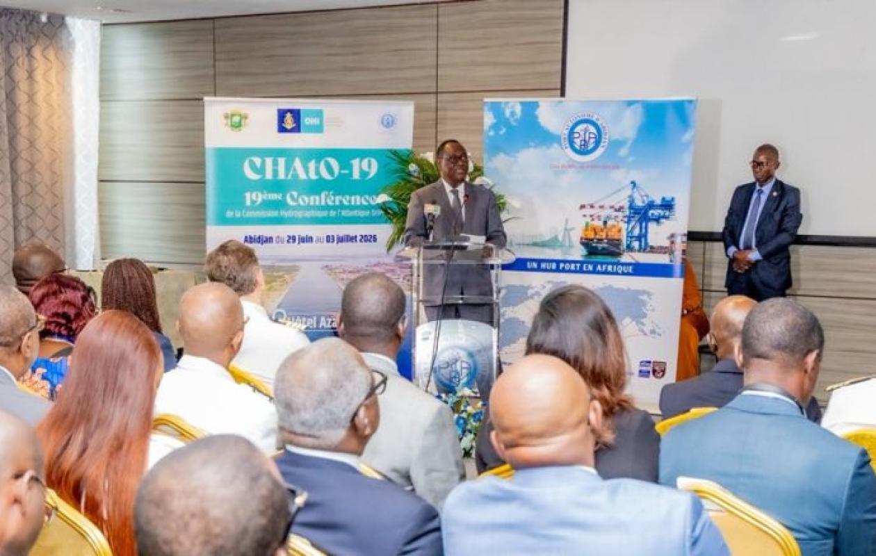
Sécurité et souveraineté : La Côte d'Ivoire s'engage pour une hydrographie de pointe
Côte d'Ivoire has reached a strategic milestone in its water management. The country aims to centralize independent, reliable, and constantly updated hydrographic data. This large-scale project will encompass its entire maritime area, from the Ébrié Lagoon to the limits of its Exclusive Economic Zone (EEZ).
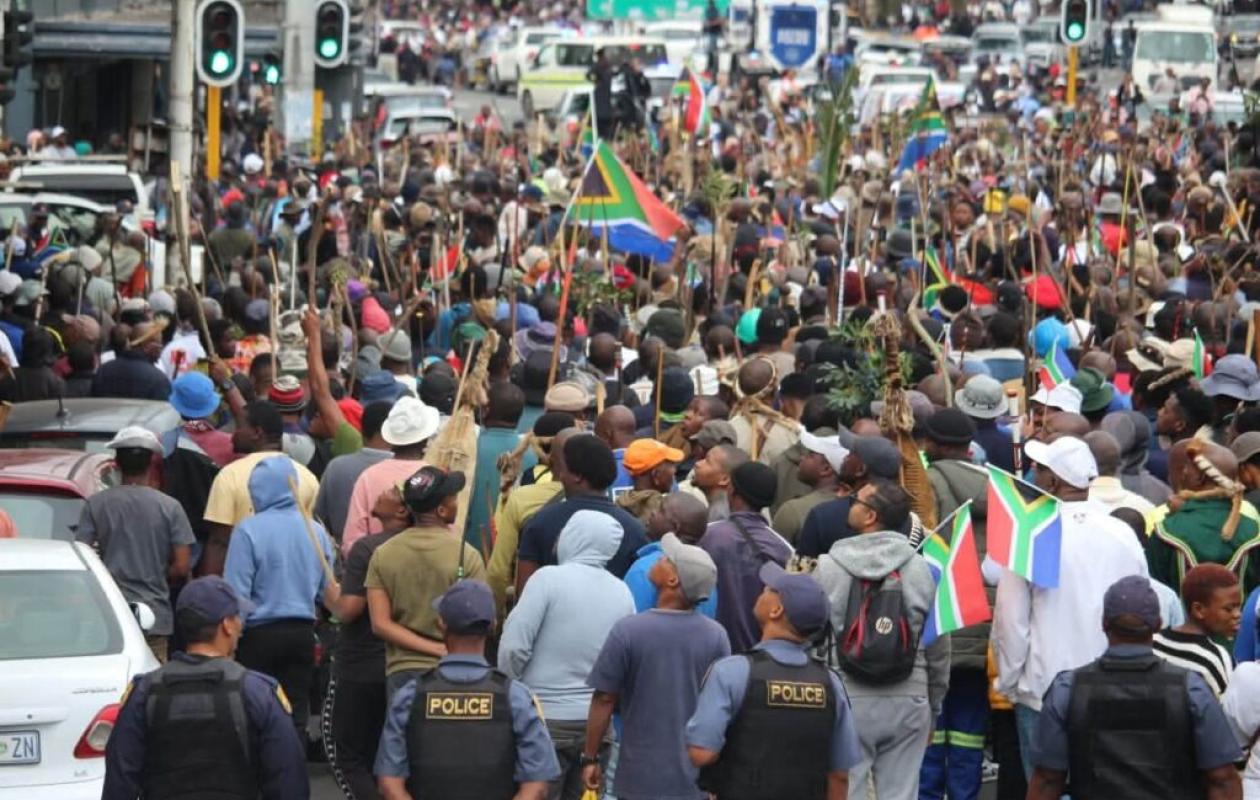
This is the strong message delivered by the Deputy Prime Minister and Minister of Defense, Téné Brahima Ouattara, at the opening of the 19th Conference of the Eastern Atlantic Hydrographic Commission (CHAtO-19), which is being held in Abidjan from July 1 to 3, 2026.
Far from being a simple matter of mapping, mastery of maritime data is a pillar of Ivorian sovereignty. According to the Minister of Defense, this information is essential to guide the actions of the National Navy in the face of current challenges.
"Hydrography is not limited to the production of nautical charts. It is essential for the safety of navigation, the protection of marine resources, the prevention of natural risks and the affirmation of the sovereignty of our States," recalled Téné Brahima Ouattara.
To realize this vision, Côte d'Ivoire relies on international cooperation. The CHAtO-19 conference offers an ideal framework for forging technical partnerships, particularly with the French Navy's Hydrographic and Oceanographic Service (Shom).
At the local level, the country has strengthened its organization by creating the National Coordination Committee for Hydrography, Oceanography and Marine Cartography . Supported by the Directorate General of Maritime and Port Affairs, this entity is leading the steps to enable Côte d'Ivoire to fully join the International Hydrographic Organization (IHO).
| Element | Description |
| The Conference (CHAtO-19) | Organised by the Autonomous Port of Abidjan with the support of the IHO, it brings together maritime administrations from the African Atlantic coast, scientists and industrialists from the sector. |
| Hydrography | The science dedicated to measuring and mapping seas, rivers and coastal areas. It is the secret engine of maritime trade, maritime safety and natural disaster prevention. |


Commentaires (0)
Participer à la Discussion
Règles de la communauté
💡 Astuce : Utilisez des emojis depuis votre téléphone ou le module emoji ci-dessous. Cliquez sur GIF pour ajouter un GIF animé. Collez un lien X/Twitter, TikTok ou Instagram pour l'afficher automatiquement.